Category: SYRIA MAPS
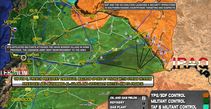
HTS-affiliated militants attacked the Havik border village in Homs province. The Lebanese army sent reinforcement to the area; On Feb…
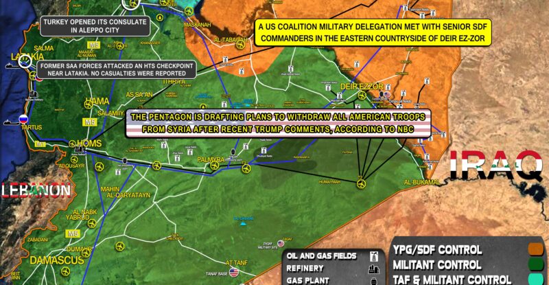
Former SAA forces attacked an HTS checkpoint near Latakia. No casualties were reported; The Pentagon is drafting plans to withdraw…
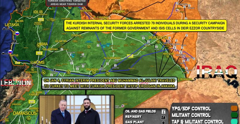
On Jan 4, Syrian Interim President Abu Muhammad al-Julani traveled to Turkey to meet with Turkish President Tayyip Erdogan in…
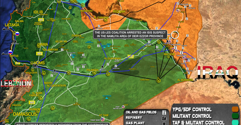
The US-les coalition arrested an ISIS suspect in the Namliya area of Deir Ezzor province; At least 15 people were…
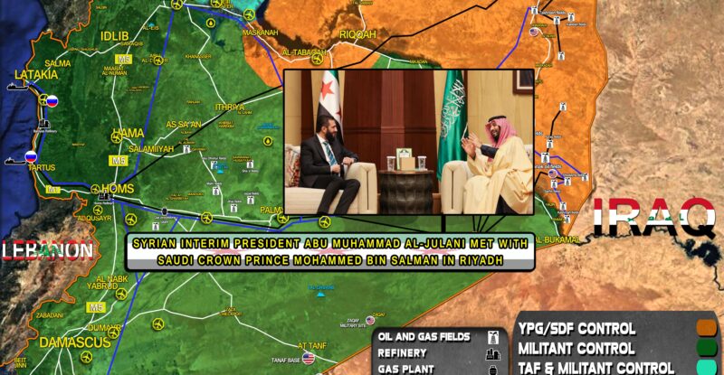
Syrian Interim President Abu Muhammad al-Julani met with Saudi Crown Prince Mohammed bin Salman in Riyadh; Turkish airstrike targeted areas…
A new resistance group in Syria called Islamic Resistance In Syria attacked Israeli positions in Turanja area in Qunaitra province;…
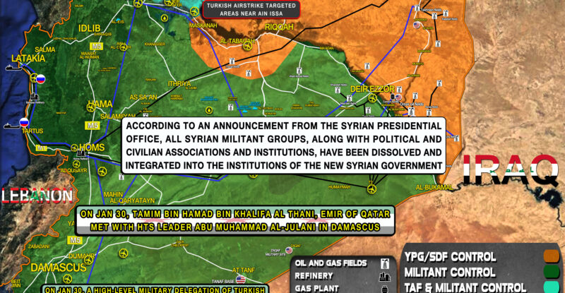
On Jan 30, a high-level military delegation of Turkish Ministry of Defense met with Syrian Defense Minister Marhef Abu Qasra…
On Jan 28, Israel Katz, the Israeli Minister of Defense visited the occupied Hermon Heights in southern Syria; Turkish airstrike…

Russia’s deputy foreign minister and a special presidential envoy for Syria arrived in Damascus for the first time since the…

On Jan 26, Ibrahim Kalin, head of Turkish intelligence met with HTS leader Abu Muhammad al-Julani in Damascus; SDF launched…